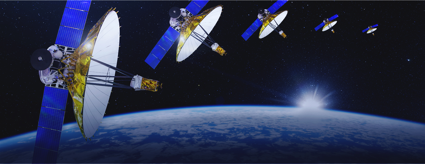
Satellite geophysics is an applied science discipline which studies the physical processes associated with Earth’s system utilizing various man-made satellites and space technologies. The fact that in-situ observations are spatially and temporally limited makes satellites one of the most effective tools in studying the physics of Earth and its environment in space and time.

Satellite Geophysics Laboratory is focusing mainly on technological advancement for academic discovery by exploiting satellite data obtained for the observation of the Earth environment. Due to its advantages in such objective, with other types of remote sensing and geospatial data, Synthetic Aperture Radar (SAR) is mainly used and new technologies are developed by our researchers. Such technologies include signal processing, SAR polarimetry, SAR interferometry and conjoined usage with artificial intelligence. The state-of-the-art technology is efficiently applied to major research topics of Earth and environmental sciences, namely disaster mapping, environmental monitoring and safety inspection.


